Log in
All resources
Create a design
475 Free Images of 1860 Maps
cornell's primary geography (1860)
jacob kuyper
drawings in musée carnavalet
lithographs in the rijksmuseum amsterdam
maps in the rijksmuseum amsterdam
gemeente atlas van nederland - north holland
1860s maps of north holland
eran laor cartographic collection
elias spanier
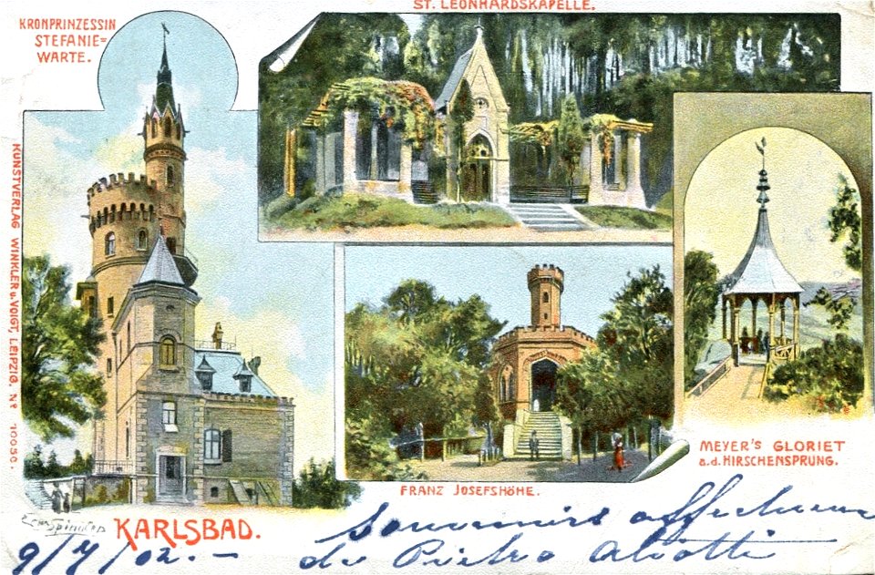
postcards by erwin spindler
gemeente atlas van nederland - north holland
maps of schoorl
gemeente atlas van nederland - north holland
maps of stede broec
gemeente atlas van nederland - south holland
old maps of delft
gemeente atlas van nederland - north holland
old maps of castricum
postcards by erwin spindler
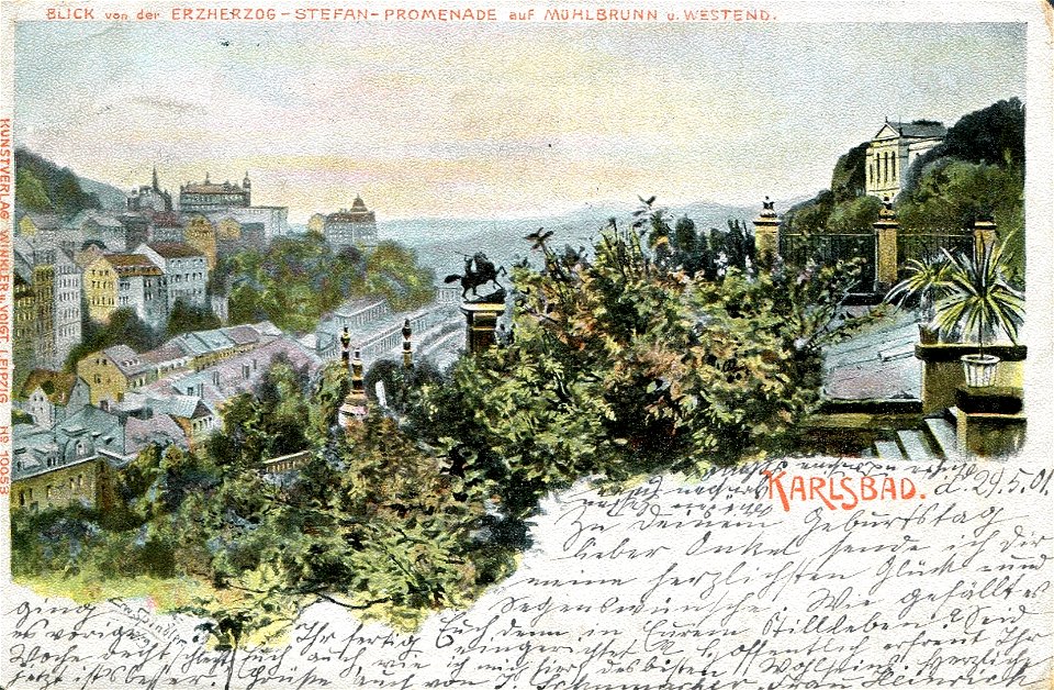
postcards of karlovy vary
postcards by erwin spindler
postcards of karlovy vary
cornell's primary geography (1860)
1860 maps of south america
new bern, north carolina
solon m. allis
chromolithographs in the rijksmuseum amsterdam
published by frans buffa & zonen
gemeente atlas van nederland - north holland
maps of heiloo
gemeente atlas van nederland - north holland
old maps of castricum
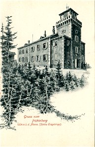
postcards of oberwiesenthal
altes fichtelberghaus
eran laor cartographic collection
william hughes (geographer)
eran laor cartographic collection
edward weller
eran laor cartographic collection
edward weller
eran laor cartographic collection
edward weller
charles william meredith van de velde
eran laor cartographic collection
gemeente atlas van nederland - groningen
maps of noordbroek
johann friedrich steffenhagen und sohn
linguistic maps of baltic languages
postcards published by winkler & voigt, leipzig
postcards by erwin spindler
old maps of the pyrenees
books about geography
old hemisphere world maps (partner files)
old maps of the eastern hemisphere
cornell's primary geography (1860)
books about geography
old hemisphere world maps (partner files)
old maps of the western hemisphere
gemeente atlas van nederland - south holland
maps of alkemade
cornell's primary geography (1860)
old maps of the western cape
cornell's primary geography (1860)
maps of the po river
19th-century maps of the english channel
books about geography
lithographs in the british museum
jules géruzet
19th-century maps of england and wales
cornell's primary geography (1860)
cornell's primary geography (1860)
old maps of lake geneva
lithographs in the rijksmuseum amsterdam
maps in the rijksmuseum amsterdam
gemeente atlas van nederland - utrecht
maps of werkhoven
london and its environs - a practical guide to the metropolis and its vicinity, illustrated by maps, plans and views (1862)
crystal palace in sydenham
gemeente atlas van nederland - south holland
de lier
gemeente atlas van nederland - north holland
sloten (amsterdam)
lithographs in the rijksmuseum amsterdam
maps in the rijksmuseum amsterdam
japanese prints in the metropolitan museum of art
yokohama-e by utagawa sadahide
japanese prints in the metropolitan museum of art
yokohama-e by utagawa sadahide
ludwig becker (explorer)
frederick schoenfeld
history of netley abbey
old maps of hampshire
maps by thomas nast
1872 maps of texas
old maps of the western hemisphere
cornell's primary geography (1860)
orientalist painting
1860s maps of peru
life and work at the great pyramid (1867)
1860s maps of egypt
life and work at the great pyramid (1867)
1860s maps of egypt
1860s maps of south america
orientalist painting
historical collections of the state of new jersey (1868)
1860s maps of new jersey
lithographs in the rijksmuseum amsterdam
elias spanier
lithographs in the rijksmuseum amsterdam
elias spanier
bequest of simon emmering
honoré daumier
auguste poulet-malassis
realism
sanctuaire de notre-dame de bétharram
joseph-bernard abadie
collection drawings and prints from het utrechts archief
provinciale staten
maps of the captaincy general of cuba
maps of the history of florida
stereo cards of the exterior of the united states capitol
neoclassicism
stereo cards of the exterior of the united states capitol
neoclassicism
lithographs in the rijksmuseum amsterdam
elias spanier
lithographs in the rijksmuseum amsterdam
elias spanier
lithographs in the rijksmuseum amsterdam
elias spanier
drawings in musée carnavalet
série 01. paris. rive droite
heemskerk in the 13th century
old maps of kennemerland
stereo cards of the exterior of the united states capitol
neoclassicism
metropolitan fair
romanticism
metropolitan fair
romanticism
metropolitan fair
romanticism
drawings in musée carnavalet
série 01. paris. rive droite
série 09. paris. hôpitaux et hospices
drawings in musée carnavalet
old maps of the viceroyalty of new spain
the spanish borderlands
the soldier in our civil war - a pictorial history of the conflict (1893)
1860s maps of the united states
place saint-michel (former square)
drawings in musée carnavalet
drawings of enceinte of philippe-auguste by léon leymonnerye
drawings in musée carnavalet
enceinte of philippe-auguste (17-21 rue des jardins-saint-paul)
drawings in musée carnavalet
drawings of enceinte of philippe-auguste by léon leymonnerye
drawings in musée carnavalet
drawings in musée carnavalet
cimetière de la madeleine
401 - 475 of 475
/ 5